Photo: The pasticceria in Corinaldo is a regular stop for us Pansèrs. I wonder why?
Stage 13 Corinaldo, Friday 25th Sep
Sometimes a little geography knowledge is helpful.
Imagine spreading the fingers of your left hand and placing it on a piece of paper. Now draw a vertical line to the right of your hand. Then draw some wiggles on the right of the line and label that “Adriatico”. Put three dots spaced out along the line and label them F for Fan, M for Marotta and S for Senigallia. Then draw two dots between the nail and the first knuckle on your ring finger (Cartoceto) and your index finger (Corinaldo).
If I have explained it well it would look something like this:

This is the basic geography of our area. The joy is that we can chose flat routes up and down the coast, hilly routes over the fingers or big climbs up and down the second knuckles – that’s where mountains Catria, Nerone and Petrano, that featured in this Giro, are to be found.
Every club ride starts easy for me, downhill from the ring finger dot to Fano. The only problem is I have to climb back up again after the ride. Just like today.
Today started well but finished ugly.
Fabiola and Sabrina surprised me by riding with me for part of the way. We met in Fano and rode south along the coast. It was warm, sunny and dry. Easy riding and easy chat along the lungomare. It was great to have some company. I really appreciated a nice social ride after yesterday’s solo climbing. Thank you Fabi and Sabri.
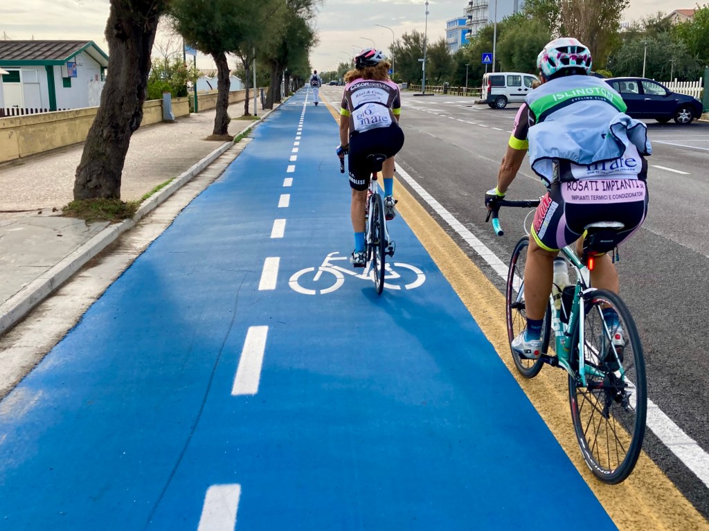
South of Senigallia we turned to the West, then North to ride a ridge over one of the fingers. I explained that we should ride in a chevron to provide some protection from the cross wind, or “ventotaglia” meaning windscreen, as Sabrina explained.
At the end of the finger the signpost said right for Senigallia, left for Ostra.

Fabiola and Sabrina were the sensible ones and turned right down the valley to Senigallia, the wind behind them, then north back to Fano. I had no choice but to follow my route and turn left, uphill and into the wind.
First Ostra, then descend into the valley and climb back up to Corinaldo. I stopped for a snack, eating outside in the sunshine. Between finishing my lunch and paying the bill the weather changed. As I turned the corner after the café there was a huge black cloud to my left. After descending to the valley floor I wondered if I should seek shelter or try and out ride it when riding East towards Marotta. I decided to give it a go. I dropped to the lower bars a rode like a TT rider.
According to Strava I covered the 14.6km in 24 minutes and 12 seconds. An average of 36.2 km/h. Not bad for an old git with 2,000km of the Giro behind him and one red traffic light stop included. I out rode the rain and kept dry.
Now at the ‘M’ on the map I turned to the north to head for Fano. 12.5km of flat coastal road with a strong cross wind before I had to turn West again. I could see the target ahead of me. The patch of blue sky. Could I outride the rain again and see the clouds pass behind me out to sea?
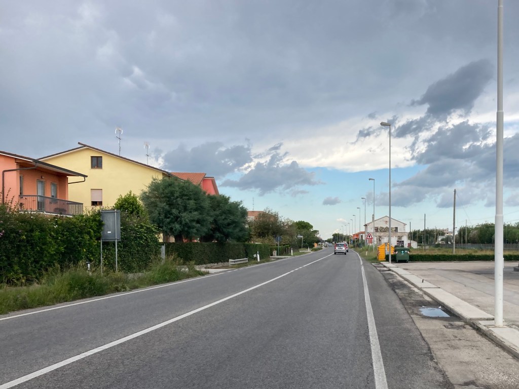
Unfortunately not. The blue sky turned out to be over Pesaro (the next town up the coast) rather than Fano. As I turned West for the last 20km and the climb up to home (we are 267m above sea level) I had the double pleasure of a headwind and the rain stinging my face.
In one final joke from mother nature, as I approached home the rain stopped. Thanks. I made a quick detour into the village for the final photo of the day.

Stage Stats: 141km | 934m climbing | 3,981 calories
Giro Stats: 13 Stages | 2,100km | 16,945m climbing | 62,980 calories
£ donations (GiftAid please if you can): https://justgiving.com/fundraising/girodimuscoli
€ donations: https://www.girodimuscoli.com/actie/colin-fisher
